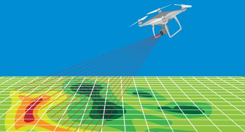
Drone sUAS Mapping Applications
Course Objectives:
- Photogrammetry Basics
- What you can and cannot do with drone Photogrammetry
- Use Cases
- Using the proper equipment
- GPS(GNSS) Fundamentals
- Understanding relative vs. Absolute Accuracy
- Flight Planning *
- Camera settings for the best image capture
- Ground Control Points
- PPK vs. RTK
- CORS/NTRIP availability for RTK
- Processing and Deliverables
*Weather permitting we will fly the planned mapping mission over the classroom site


