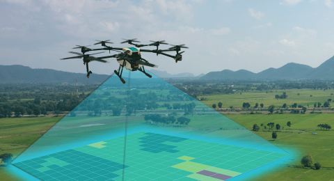
Feature Extraction from UAV Photos and Lidar
UAV information is not initially the typical vector type map information we are used to in surveying and engineering. Orthophotos and very dense elevation models (.las or .laz files) initially have no feature coded intelligence or linework/symbology associated with them. Software vendors were quick to implement some automated tools to separate ground vs. non-ground data points, buildings and foliage from the non-ground information, and create linework when appropriate.
Unfortunately, the automation process is an algorithmic approach that can never achieve perfection and thus needs a knowledgeable user to make corrections. At some point extraction of point and line features by a user is required and software again is evolving to handle this approach which has been simplified from its stereo vision based photogrammetric roots. The so-called classification process will be demonstrated in wide variety of situations.


