GIS/GPS Boot Camp
Important Note: ArcGIS courses are now being offered by the Geospatial Technologies Training Center. For more information, please visit: https://extension.unh.edu/geospatial-technologies-training-center
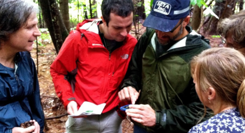
This 5-day workshop is designed for anyone interested in learning a range of mapping technologies, then immediately applying their new skills. Participants learn to map natural resources and community assets while exploring methods for sharing maps with others. Each participant will have a chance to flex their newly-acquired GIS skills by working on a mapping project during the workshop. Feel free to bring ideas you may have for projects, and we will try to incorporate your ideas within the time constraints of the course. No previous GIS or GPS experience is required.
This 5-day workshop is designed for anyone interested in learning a range of mapping technologies, then immediately applying their new skills. Participants learn to map natural resources and community assets while exploring methods for sharing maps with others. Each participant will have a chance to flex their newly-acquired GIS skills by working on a mapping project during the workshop. Feel free to bring ideas you may have for projects, and we will try to incorporate your ideas within the time constraints of the course. No previous GIS or GPS experience is required.
Participants will learn to create maps, edit data and conduct spatial analysis using ArcGIS for Desktop | make and share maps using ArcGIS Online | collect GPS data with mobile devices (tablets, smartphones) | get GIS data from a variety of sources | design and carry out a GIS-based projects
Tuition Costs:
Flat Tuition Rate = $799
A reduced tuition rate of $649 is available for students who are employed by the following entities: Non-profit organization, government, education, etc.
Related Workshops:
This course is currently unavailable.
The June 3 - 7, 2019 GIS/GPS Boot Camp will be held at the UNH Cooperative Extension Sea Grant Office located at 122 Mast Rd, Lee, NH 03861.
This location is about 10 minutes away from UNH Durham.
Please use the map shown.

