
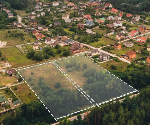
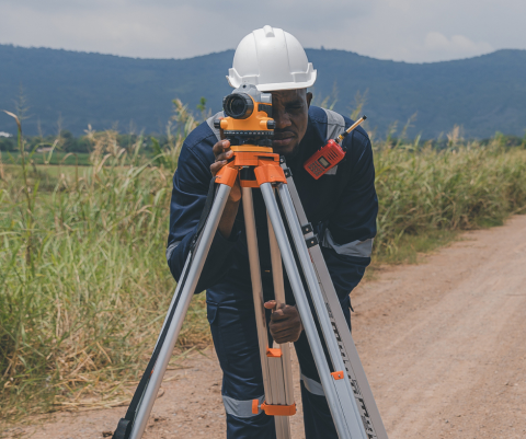
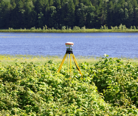
Land Surveying Workshops at UNH
UNH Professional Development & Training's land surveying workshops give you hands-on skills in mapping, measurement, and spatial analysis, all essential tools for anyone working in construction, engineering, or environmental planning. Enroll at any time with class formats both in-person and live online via Zoom.
Highlighted Programs:
NEW! Low Distortion Projections in Solution of Grid-Ground Distance Issues - The "New State Plane Projection"


Upcoming Workshops & Programs
Upcoming Land Surveying Workshops
- The Basics of Photogrammetric Processing of Unmanned Aerial Vehicle Data | September 8 | Live Online
- Plane Surveying Geometry | October 20 | Live Online
- Route and Site Surveying Geometry | December 1 | Live Online
- Efficient Use of State Permanent GNSS Base Station Networks Post-Processed & Real Time | January 12 | Live Online
- Applying Geodesy to Boundary Surveying | February 23 | Live Online
- Fundamentals of Surveying Exam Review (also known as Land Surveyor in Training exam) Preparation | April 6 | Live Online
- How to Prepare for U.S. Public Land Survey Questions on Professional Surveying Exams | May 4 | Live Online
Sign up for email updates to be notified when workshop enrollment opens and when new workshops are announced.

Contact:
Sarah Lamay, Program Manager
sarah.lamy@unh.edu
603-862-7380